
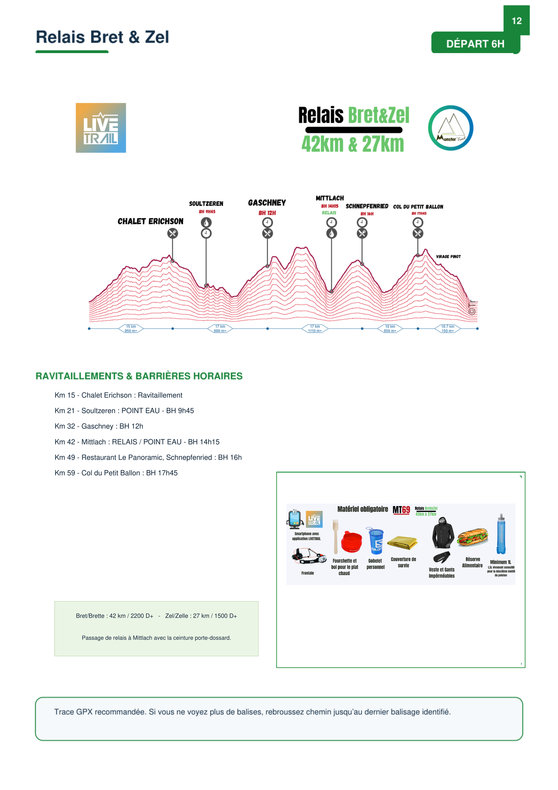
Map of the route “Relais « Bret&Zel » MT69”: 69 250 m, 3 871 m of climbing and 3 874 m of descent, elevation between 368 m and 1 308 m, time 02:17:21. It is a loop that starts and ends at 48.04153, 7.14367 (latitude, longitude).
Map of the route “Relais « Bret&Zel » MT69”: 69 250 m, 3 871 m of climbing and 3 874 m of descent, elevation between 368 m and 1 308 m, time 02:17:21. It is a loop that starts and ends at 48.04153, 7.14367 (latitude, longitude).